https://storymaps.arcgis.com/stories/7cbd1b6875454688b0f4f0d1a40f2f99
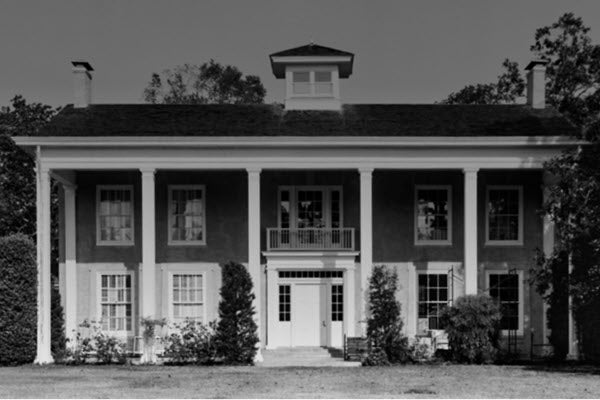
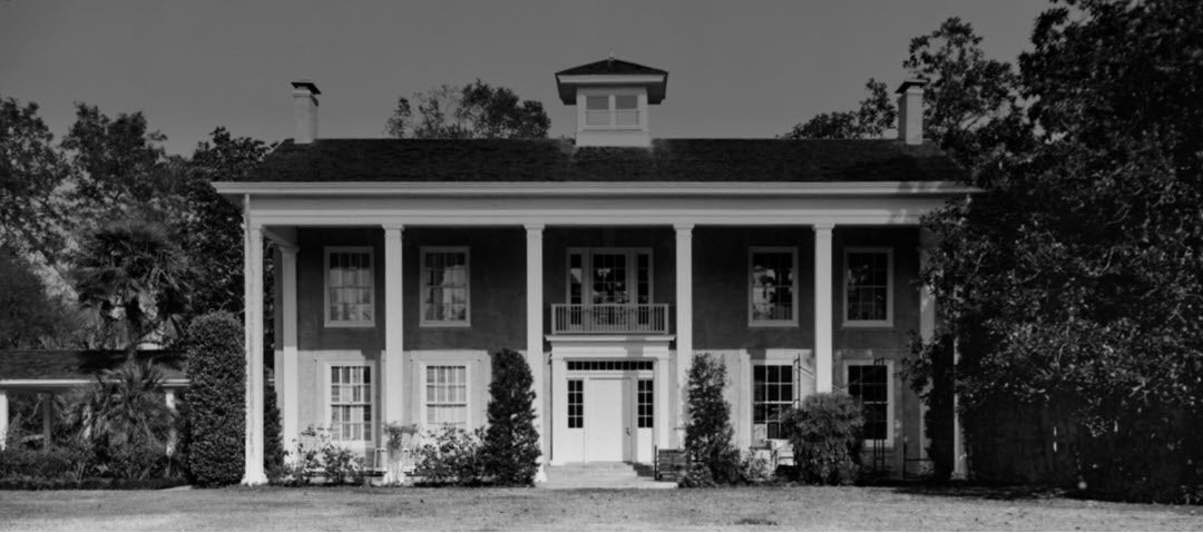
This StoryMap was created by Rice University undergraduate student Phoenix Orta with the collaboration and advice of Molly Morgan, Fares El-Dahdah, Angela Pfeiffer, and Uilvim Franco. This project designing a story map of Varner-Hogg Plantation aims to present the many layers of history at Varner-Hogg Plantation into an accessible and engaging digital format. Particularly, this project was created with the goal of educating about the history of slavery and African-American heritage on this plantation by integrating various forms of data into a cohesive narrative about these individuals and their lives. Many of the images presented in this StoryMap will also be included in Dr. El-Dadah’s larger StoryMap project called Black Life in Houston: An Atlas of Racial Inequality, Displacement, and Integration. To explore all of the georeferenced photographs and sketches collected for this project, visit our Varner-Hogg Plantation Image Gallery . To explore even more imagery collected for this project, including the maps, plans, and aerials, visit the public collection of images hosted in JSTOR. You can also see the citations for the images used in this StoryMap.


